Michigan Unifies AVL and Radio Location Statewide for Emergency Response
Abstract
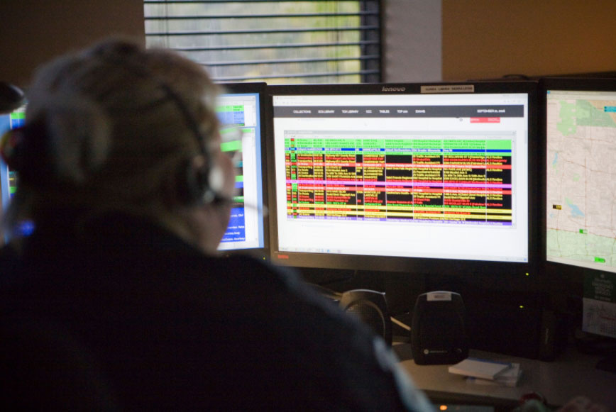
In a strategic initiative to strengthen emergency operations across Michigan’s 83 counties, the Michigan Public Safety Commission (MPSC), in partnership with the Michigan Public Safety Communications System (MPSCS), is deploying cutting-edge tracking and communication technologies. At the heart of this deployment is CompassCom’s real-time Automatic Vehicle Location (AVL) platform, offering secure, interoperable broadband and land mobile radio (LMR) tracking solutions that meet high State of Michigan IT security standards.