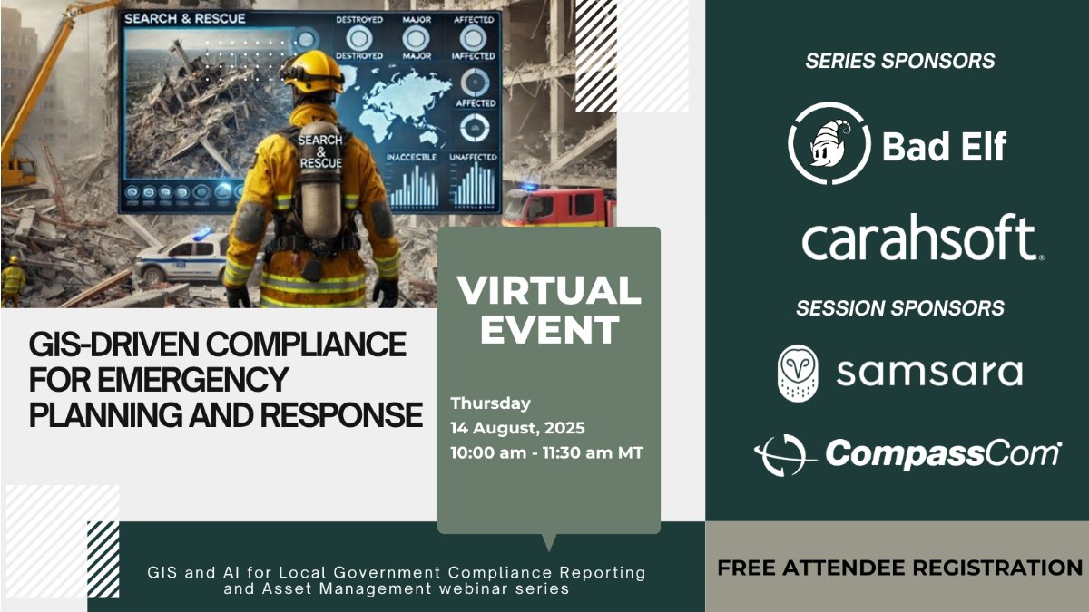
This webinar is designed specifically for local government professionals responsible for managing emergency preparedness, response, and recovery. We will explore how GIS can be leveraged to meet regulatory compliance requirements at the local, state, and federal levels during emergencies. Attendees will learn how GIS tools support disaster risk assessment, mapping hazard zones, evacuation planning, and real-time emergency response coordination. The webinar will also address how GIS can streamline reporting and post-disaster recovery efforts, ensuring compliance with FEMA and other regulatory frameworks. Additionally, the session will focus on resource allocation, public communication, and transparency during crises, showcasing how GIS aids in maintaining compliance with emergency protocols while improving decision-making and operational efficiency. Through practical applications and insights, this webinar will provide local governments with the tools they need to enhance their emergency planning and response capabilities, while ensuring adherence to all required regulations.
Real-World Perspective: Hear directly from our customer in Boone, NC, as they share how CompassCom solutions supported emergency response after hurricane Helene. Watch the interview on YouTube.