- Network Solutions
- Products
- Industries
- Public Works
- Public Safety
- Department of Transportation
- Federal Agencies
- Defense
- Energy
- About
- Our Partners
- Contact Us
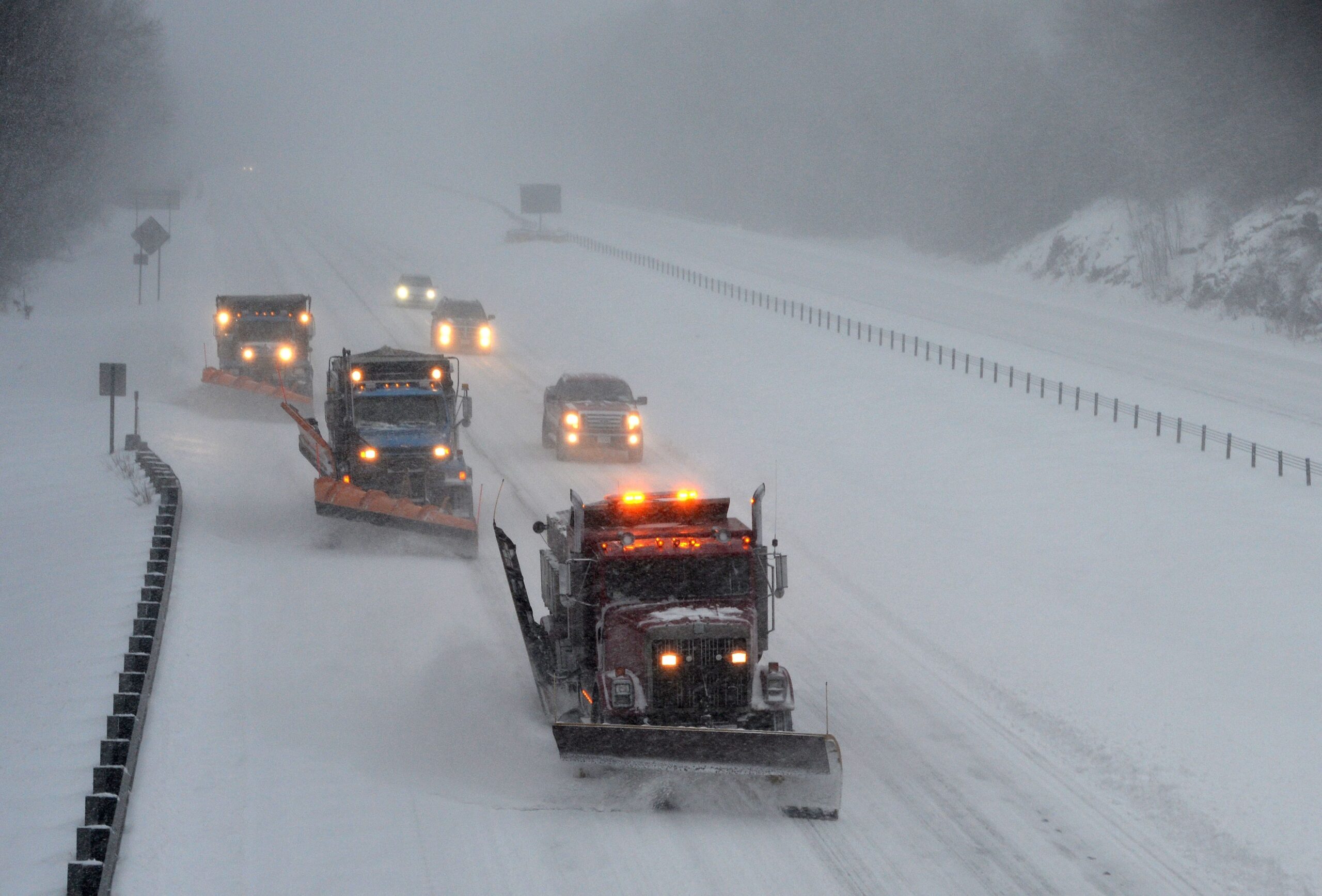
Departments of Transportation in the United States—and comparable agencies internationally—design, build, and maintain critical infrastructure including highways, airports, and ports. As these responsibilities grow in complexity, digital transformation becomes essential. This modernization heavily depends on Geographic Information Systems (GIS) and real-time location for real-life impact intelligence.
Core capabilities that improve fleet performance and service delivery
Real-Time Location For Real-Life Impact-Time Fleet Visibility: monitor live locations of snowplows, sweepers, stripers, and field crews on a single, unified map.
Automated Workflows: dynamically streamline routing, track deicing materials, and assign crews in response to changing weather conditions.
AI-Powered Road Condition Analysis: use real-time location for real-life impact and archived still photo and video camera data—analyzed by AI—to determine road conditions using both visual and data inputs.
Asset Performance Monitoring: track engine diagnostics and equipment usage to support preventive maintenance and reduce downtime.
Material Usage Tracking: monitor material type, volume, and coverage zones in real-time location for real-life impact—compatible with multiple spreader vendors.
Driver Safety Insights: utilize driver behavior data and system alerts to enhance safety, accountability, and training.
Service Verification & Complaint Resolution: use location-stamped data to confirm completed work and resolve disputes.
Plays a vital role in supporting these efforts by enhancing workflows for winter road maintenance, airport operations, and port management. Its interoperable platform provides real-time location for real-life impact situational awareness of mobile assets such as vehicles, personnel, aircraft, and other high-value equipment. Utilizing GNSS-based location data and integrated with Esri® ArcGIS, CompassCom delivers a secure, live operational picture that improves planning, asset management, and infrastructure maintenance.

Why it matters for DOT operations and public satisfaction:
Enhanced Safety: protect drivers, field workers, citizens, and commercial users of transportation networks.
Optimized Fleet Utilization: improve operational efficiency and achieve cost savings through better resource use.
Comprehensive Situational Awareness: leverage real-time location for real-life impact and historical analytics to ensure performance aligns with strategic goals and public expectations.
Sustainable Operations: minimize environmental impact by reducing unnecessary mileage and optimizing the application of deicing materials.
Improve Constituent Trust and Engagement: provide transparent service data to foster public confidence and civic inclusion.
Uninterrupted Transportation Flow: keep transportation networks operating efficiently to support the commerce that powers our economy.
CompassCom’s platform supports multiple wireless networks simultaneously, ensuring continuous connectivity even in areas where a single communications network may be unreliable. This flexibility allows organizations to deploy one integrated platform—securely aligned with IT requirements—tailored to their GIS system and geographic operations.
“Our society cannot advance if we do not improve the way we move goods and services around the globe. Real-time location for real-life impact GIS offers unique opportunities for advancements in our transportation networks now and tomorrow.”
— Brant Howard
Founder and CEO, CompassCom