- Network Flexibility
- Products
- Industries
- Our Partners
- Technology Alliance Partners
- Value Added Resellers
- About
- Contact Us


Motorola Solutions® is an authorized reseller of CompassTrac® Enterprise and CompassRespond®, mission-ready GPS-based Automatic Vehicle Location (AVL) software platforms from CompassCom. These solutions are designed to seamlessly integrate with APX™ P25 and MOTOTRBO™ radio systems, enabling interagency coordination for real-time field operations.
Built to support on-premises, cloud, and tactical deployments, CompassCom’s AVL software delivers real-time location intelligence for Motorola portable and mobile radios. Systems are fully interoperable with broadband wireless modems and compatible with third-party platforms like TAK—empowering agencies with a unified, interoperable command-and-control solution.
Available in flexible configurations—including Integrated Mobile Workstations (IMW), conventional P25, multi-site MOTOTRBO™, and portable tactical systems—CompassCom enhances operational visibility and responsiveness.
By combining Motorola’s trusted LMR infrastructure with CompassCom’s Esri®-based ArcGIS® platform, organizations achieve a live Common Operational Picture (COP) across vehicles, radios, and field personnel—supported with post-incident replay and analytics.
BK Technologies® is an authorized white-label reseller of CompassCom’s real-time location intelligence platform, offering the solution under the Locate One™ brand. Powered by CompassCom, this mission-critical AVL software delivers secure GPS tracking for personnel and assets operating on P25 BK radios in challenging environments.
Locate One Tactical is purpose-built for disconnected and austere field operations, including wildland firefighting, search and rescue (SAR), and tactical law enforcement deployments. The solution provides real-time situational awareness via an Esri-based platform, giving command staff a live operational picture even when broadband connectivity is limited or unavailable.
Available exclusively through BK Technologies’ sales team and authorized dealer network, Locate One Tactical ensures seamless integration with BK portable radios, compatibility with TAK and other mission systems, backend support from CompassCom for system configuration and ArcGIS integration, and secure, scalable deployments for mobile or fixed command operations.
Agencies seeking to deploy Locate One Tactical should contact BK Technologies directly for pricing, procurement, and implementation. CompassCom supports all technical backend services to deliver a turnkey, interoperable location solution for high-stakes environments.
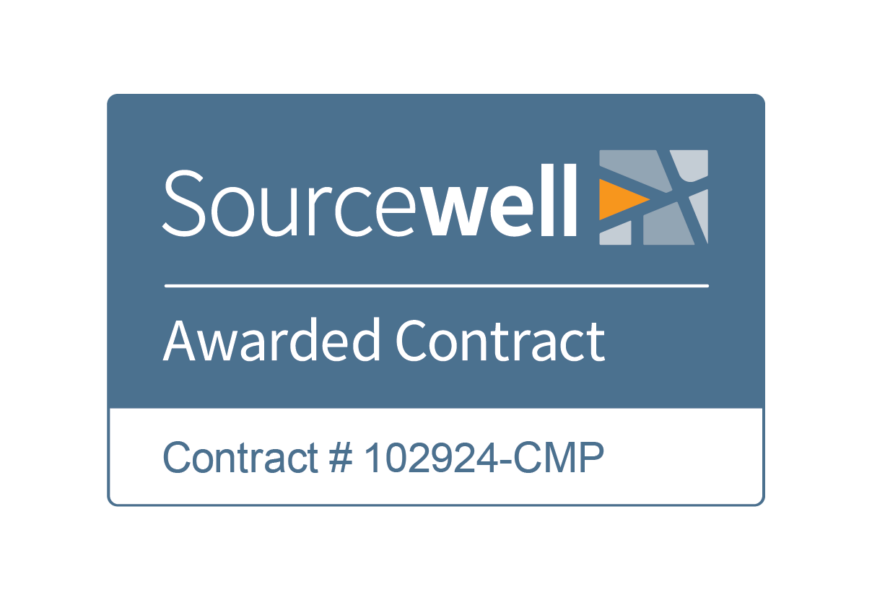
CompassCom is proud to be an awarded vendor under a Sourcewell Cooperative Purchasing Contract for GIS-based fleet GPS tracking solutions. Sourcewell is a government agency that streamlines procurement by combining the purchasing power of thousands of government, education, and nonprofit agencies into a single cooperative. All contracts are competitively solicited, satisfying public procurement requirements and delivering cost-effective, compliant purchasing solutions.
By leveraging CompassCom’s Sourcewell contract, participating agencies can simplify the purchasing process with no RFPs or lengthy bid evaluations required. They gain access to pre-negotiated pricing for real-time AVL, GIS, and telematics solutions. The contract enables agencies to procure mission-critical technology that supports Public Safety, Public Works, Defense, Utilities, and Transportation—while ensuring full contract compliance and audit readiness.
Whether you're implementing CompassTrac Enterprise, CompassRespond, or integrated AVL for Motorola and BK Technologies radios, Sourcewell makes acquisition faster, easier, and more affordable.
Learn more about CompassCom's Sourcewell offering and how you can start purchasing today.
Nationwide LMR Integrator and AVL Reseller MCA is a leading provider of mission-critical communications and safety solutions, offering CompassCom software as part of bundled deployments with MOTOTRBO™, APX™ P25, and broadband infrastructure. With a national footprint and deep expertise in LMR systems, MCA supports end-to-end implementation of real-time GPS tracking and AVL solutions, integrated with Esri-based situational awareness platforms.
Serving departments of transportation (DOTs), public safety agencies, utilities, and municipal fleets, MCA helps streamline procurement and deployment through secure, scalable government fleet telematics solutions. These tools deliver real-time fleet visibility, location-stamped data, and unified GIS mapping for field personnel, enabling optimized fleet utilization, compliance readiness, and improved operational efficiency.
MCA’s experience with broadband and radio communications supports DOT compliance initiatives such as ELD/HOS integration, DVIR reporting, driver behavior monitoring, and preventive maintenance scheduling—ensuring safer, smarter, and more accountable transportation operations for state and local governments.
Motorola Solutions Reseller and AVL Solutions Partner BearCom® is one of the largest Motorola Solutions resellers in North America, delivering complete LMR systems, broadband connectivity, and integrated communications solutions. As a CompassCom value-added reseller, BearCom provides bundled Automatic Vehicle Location (AVL) and situational awareness software with MOTOTRBO™ and APX™ P25 radio deployments—enabling real-time GPS tracking and unified communications for public sector fleets.
With more than 80 locations across the U.S. and Canada, BearCom supports scalable deployments for public safety agencies, municipal fleets, and departments of transportation (DOTs). Their offerings help organizations enhance government fleet management, ensure DOT compliance, and extend geographic information system (GIS)-based fleet visibility with CompassCom’s real-time location intelligence platform.
These integrated telematics solutions support transportation modernization efforts such as snowplow tracking, deicing material monitoring, driver safety reporting, and real-time fleet tracking across transit, utilities, and public works operations. With support for broadband, LTE, and secure radio infrastructure, BearCom ensures connected vehicle readiness and reliable command-and-control capabilities for mission-critical environments.
By combining Motorola’s trusted voice and data communication infrastructure with CompassCom’s Esri-based ArcGIS platform, agencies gain a live Common Operational Picture (COP) for optimized fleet utilization, service accountability, regulatory compliance, and enhanced public trust.
AVL and Situational Awareness for Airports and Public Safety ACG Systems integrates CompassCom’s real-time GPS tracking and situational awareness software into its turnkey communications solutions for airports, public safety agencies, and government operations. With a strong presence in airport command and control environments, ACG deploys CompassTrac Enterprise to deliver secure, on-premise AVL software compatible with Motorola APX™ P25, MOTOTRBO™, and other leading LMR radio networks.
By combining CompassCom’s Esri-based GIS platform with ACG’s expertise in mission-critical dispatch, airport operations centers gain real-time fleet tracking and unified visibility of radios, vehicles, and field personnel. This enables faster emergency response, improved interagency coordination, and heightened driver safety across both airside and landside operations.
ACG’s integrated fleet management solutions also support broader transportation modernization initiatives, such as asset performance monitoring, service verification, and optimized fleet utilization. Designed to meet the needs of aviation, transit, and municipal public safety teams, ACG enhances operational readiness with scalable, compliant, and interoperable communications infrastructure.
Esri GIS Services + Trimble® Unity and Cityworks® Integration NewEdge Services, LLC is a trusted Esri GIS services provider and Trimble Unity and Cityworks integrator, delivering enterprise geospatial solutions to municipalities, counties, and regional governments. As a CompassCom reseller, NewEdge incorporates CompassTrac Enterprise and CompassWorks® into customer workflows, extending GIS and asset management systems with integrated AVL and real-time location intelligence.
With deep expertise in ArcGIS, Cityworks, and public sector operations, NewEdge enables local governments and transportation departments to connect the field to the back office—improving fleet visibility, service verification, and accountability. Their implementations support DOT compliance initiatives, preventive maintenance planning, and GIS-based asset performance monitoring.
By integrating CompassCom’s real-time GPS tracking and Esri-based fleet management solutions, NewEdge empowers agencies to optimize fleet utilization, automate reporting, and enhance operational efficiency across public works, utilities, and transportation infra

CompassCom solutions are available through Carahsoft®, a leading government IT solutions provider and distributor. Carahsoft simplifies procurement for federal, state, and local agencies by making CompassCom’s Esri-based AVL solutions and real-time LMR radio location viewers accessible through GSA Schedule and other contract vehicles.
This distribution channel enables agencies to deploy CompassTrac Enterprise, CompassWorks®, and other CompassCom products while meeting compliance requirements and leveraging established purchasing workflows.
Ideal for agencies seeking rapid acquisition, competitive pricing, and contract compliance when procuring secure AVL and situational awareness platforms.