Deliver live GPS location intelligence from radios, vehicles, and field assets—seamlessly integrated into your existing Esri environment.
Built for organizations that depend on ArcGIS for operational awareness, real-time mapping, and mission-critical decision-making.
Plug-and-Play Compatibility
CompassCom® integrates effortlessly with:
ArcGIS Server map, Feature, and Image Services as Basemap Data: leveraging your investment in Esri infrastructure for seamless integration and visualization.
ArcGIS Online: for cloud-based operations
ArcGIS Velocity: for real time streaming data visualization
ArcGIS GeoEvent Server: for real-time event processing
What does CompassCom integration with Esri® provide?
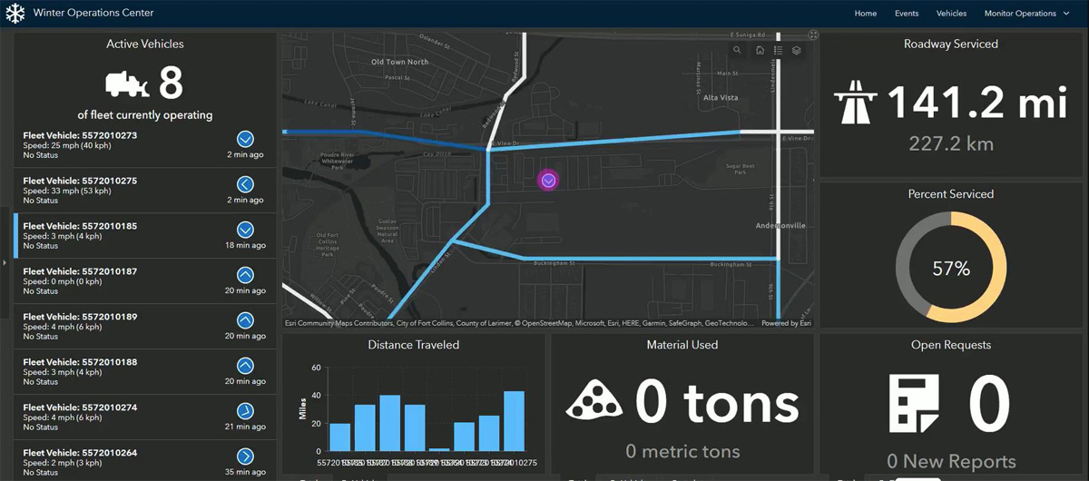
CompassCom brings real-time GPS location and operational data from LMR radios, vehicles, SatCom devices, and other field systems into Esri® environments. This includes live location, engine diagnostic data, and snow-fighting material usage from multiple spreader manufacturers. Once in Esri, organizations can use that data to power real-time alerts, dashboards, maps, and custom applications—creating a more complete operational picture for faster, better-informed decisions.
How does CompassCom integrate with Esri platforms and applications?
CompassCom provides standard integration connections for ArcGIS® Velocity, ArcGIS® GeoEvent™ Server, and ArcGIS® Online, along with an open, Esri-centric API for custom applications and workflows. This gives organizations a flexible way to deliver real-time location and telemetry data into the Esri systems they already use.
Can CompassCom leverage our existing Esri investment?
Yes. In both on-premise and hosted environments, CompassCom can use existing Esri data and services, including basemaps, map layers, map services, feature services, image and image services. This helps organizations extend the value of their existing GIS investment while adding live operational awareness to the CompassCom environment.