Summary
A National Park was in a need of a system to quickly locate their Law Enforcement Rangers.
THE PROBLEM
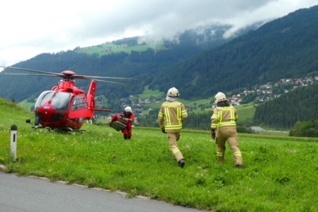
Park Rangers are responsible for the public safety of people visiting the parks. They generally patrol large tracts of land and are alone when on patrol. They are exposed to the risks inherent in working in wilderness areas. As a result over the years Rangers have been injured and even lost their lives while performing their duties. Law Enforcement management was seeking a solution to reduce the risk of these incidents to both the Rangers and the visiting public.

THE SOLUTION
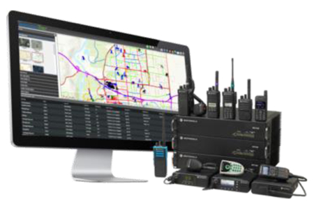
Management decided to track the Rangers by taking advantage of the existing GPS capability in the Rangers Motorola APX Series radios. The choice was clear. CompassCom’s GPS tracking system provided by Motorola Solutions. CompassTrac empowered by ArcGIS that locates Officers in near real-time, supports Search & Rescue and Ranger safety by reducing response time to incidents. The radio emergency button notifies dispatch of incidents in the park. CompassCom is a Motorola Solutions approved Applications Partner.
THE IMPACT
The Park dispatchers can now quickly determine the location of their Rangers by using their CompassTrac viewer application. Through the viewer they can see the location of the Rangers vehicle mobile radio or the portable radio they carry when leaving the vehicle. Through the Esri based application, the Rangers radios are displayed on the map of the park. This information leads to the fastest response to any incident involving the Rangers or the visiting public. The improvement in response time saves lives!

At CompassCom, we provide solutions and support to help those in Public Safety implement and effectively use AVL and Motorola radio tracking to help ensure the safety of high value operational assets, both mechanical and human.
 CompassCom